Getting around Los Altos isn’t hard at all. This beautiful city sits only 40 miles south of San Francisco in Silicon Valley. A member of Santa Clara County, Los Altos, California transportation primarily consists of personal cars, bicycles and pedestrian travel. In addition, public transportation offers a way for many to move around for little money.
Cars
The U.S. 101, also known as the Bayshore Freeway, and I-280, known as the Junipero Serra Freeway, provide Los Altos residents and visitors access to the city of San Francisco. These freeways also allow access to Palo Alto to the north, San Jose to the south and other communities around Los Altos. Highway 82, which locals know better as El Camino Real, is a main roadway between the “peninsula cities,” the name for the cities in the area. Inside Los Altos, the primary corridor is San Antonio Road, which runs north to south.
Public Transportation
As most travelling in this area takes place in cars, many residents own their own vehicles, while many visitors rent. There are taxi services available, as well, for short drives. Los Altos also has public transportation for those without cars or who prefer not to drive. Both a bus and train are available for getting around the area. With the San Antonio Caltrain Station near Los Altos, you will be able to travel all the way to San Francisco or Gilroy on the train. Prices vary depending on how far you travel. Passes are available from single rides to monthly passes.
San Antonio Caltrain Station
190 Showers Drive, Mountain View 94040
California Avenue Caltrain Station
101 California Ave, Palo Alto 94306
The Valley Transportation Authority bus also provides a way to get around the area. Passes are available, from a single ride to an annual pass. These routes travel through Los Altos:
Park & Ride VTA Park and Ride Lots Map
22 Palo Alto Transit Center to Eastridge Transit Center via El Camino
35 Downtown Mountain View to Stanford Shopping Center
40 Weekday and Saturday Foothill College to LAvenida & Shoreline Sunday Only San Antonio & Lyell to LAvenida & Shoreline
51 De Anza College to Moffett Field/Ames Center
52 Foothill College to Downtown Mountain View
522 Palo Alto Transit Center to Eastridge Transit Center
Walking and Biking
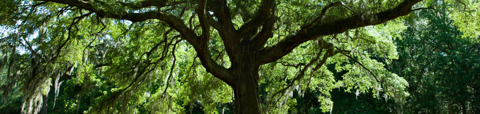
Beyond driving, Los Altos is a community filled with many shady, tree-lined streets. It’s a picturesque area that’s perfect for riding your bike or walking. Downtown Los Altos provides a close area with excellent places to walk and enjoy the scenery or shop. This charming six-square block area in the city is home to many shops, service businesses, cafes and restaurants. The area also has a variety of public art that’s lovely to explore on foot. With so much in a small area, walking around town to different attractions and businesses is a feasible option.
Airports
Beyond local transportation, there are two major airports near Los Altos. The San Francisco International Airport is less than 30 miles away via the Bayshore Freeway. San Jose International Airport is about 20 miles south of Los Altos. It also is a major spot for flights.